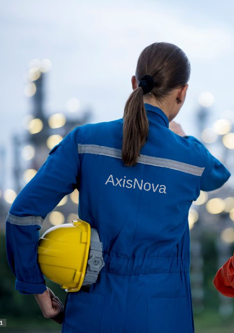
AxisNova sets the benchmark for accuracy and innovation in 3D laser scanning and surveying services.
We provide comprehensive solutions including topographic surveys, construction support surveys, drone surveys, high-precision 3D laser scanning, and SCAN-CAD. Our expert team delivers accurate point clouds ideal for clash detection, design coordination, spatial analysis, and as-built documentation.
Our streamlined workflows enable efficient operations with minimal on-site disruption, supporting faster turnaround times and reduced project complexity.
Enhance your project outcomes with our integrated Virtual and Augmented Reality services—transforming real-world environments into interactive visualizations, annotated models, and immersive digital walkthroughs.
-
-
-
-
-
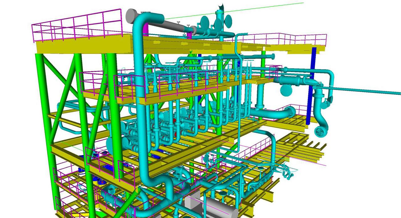 Scan-CAD
Transforms pointcloud into precise 3D models with unmatched accuracy and efficiency
-
 BIM modelling
From concept to as-built—BIM models at LOD 200–500 for smarter project delivery.
-
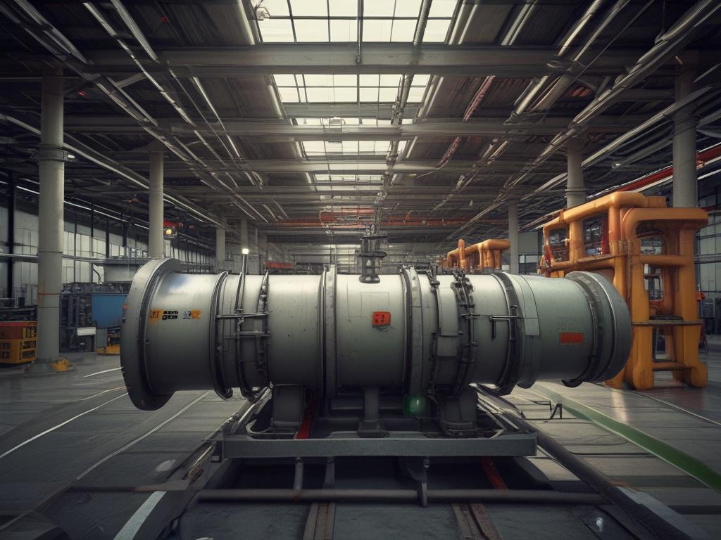
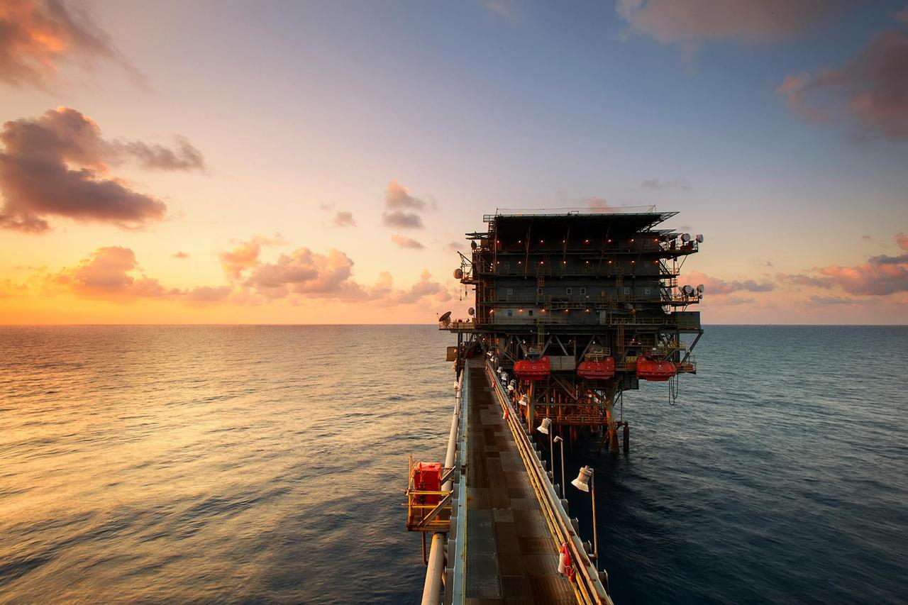 Oil and gasPrecision scanning and modeling solutions for the oil and gas industry.
 -
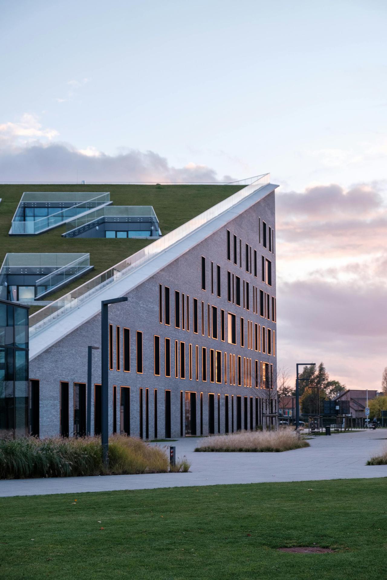
 Construction
Revolutionize your construction projects with our advanced 3D laser scanning services.
-
 Industrial plants
Precision scanning and modeling for industrial plants.
-
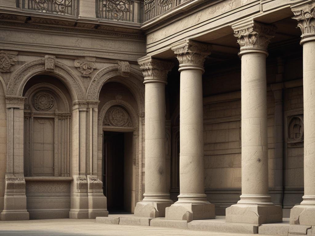 Heritage
Preserve your historical structures with precision 3D scanning.
-
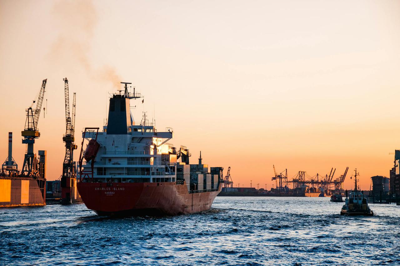 Marine
Advanced 3D laser scanning solutions for marine applications.
-
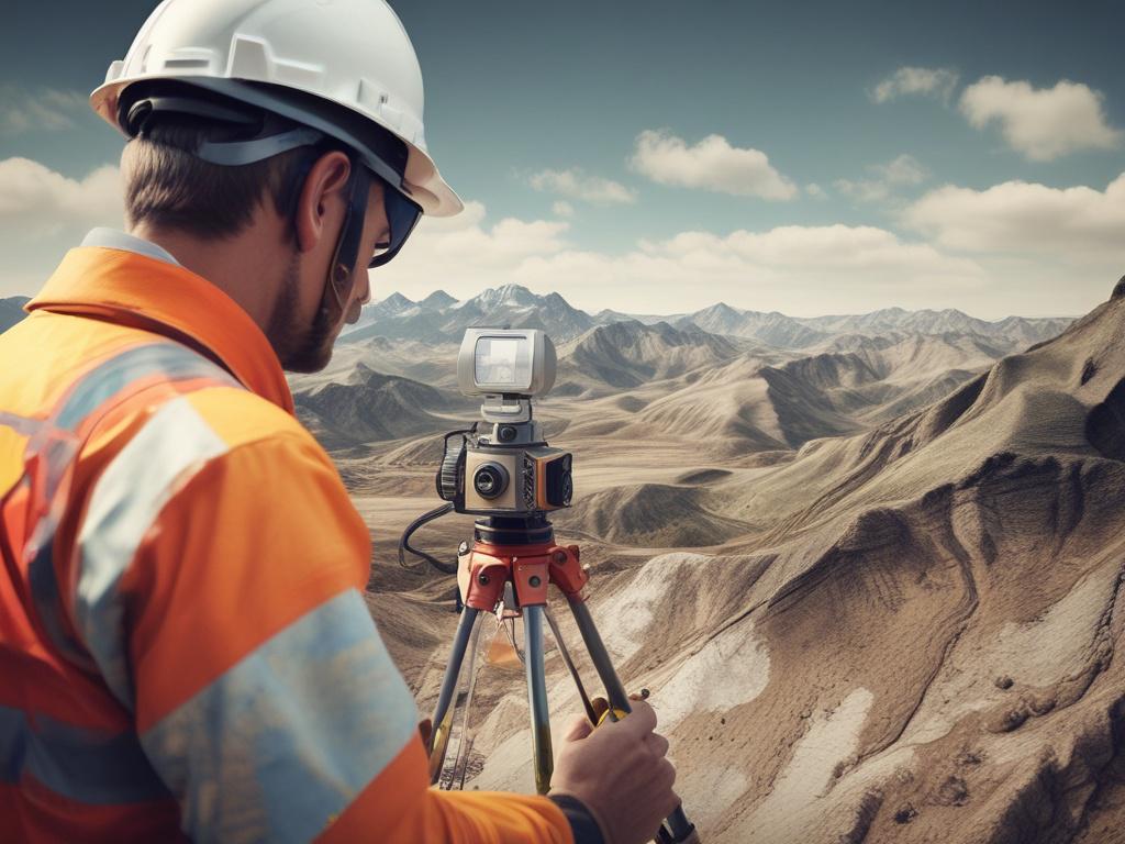
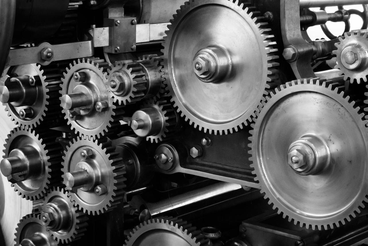
At AxisNova, we harness the power of cutting-edge 3D laser scanning technology to capture intricate details of physical spaces with remarkable precision. Using top-tier equipment like Z+F and Faro Focus 3D, we create highly accurate point clouds that serve as the foundation for various applications, from architectural design to construction planning. Our efficient scanning process minimizes downtime and maximizes productivity, allowing you to focus on what truly matters. Trust our expertise to deliver high-quality data that transforms your projects and enhances decision-making.
-
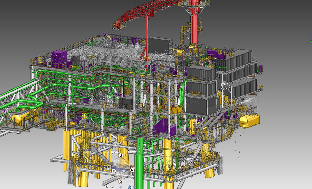
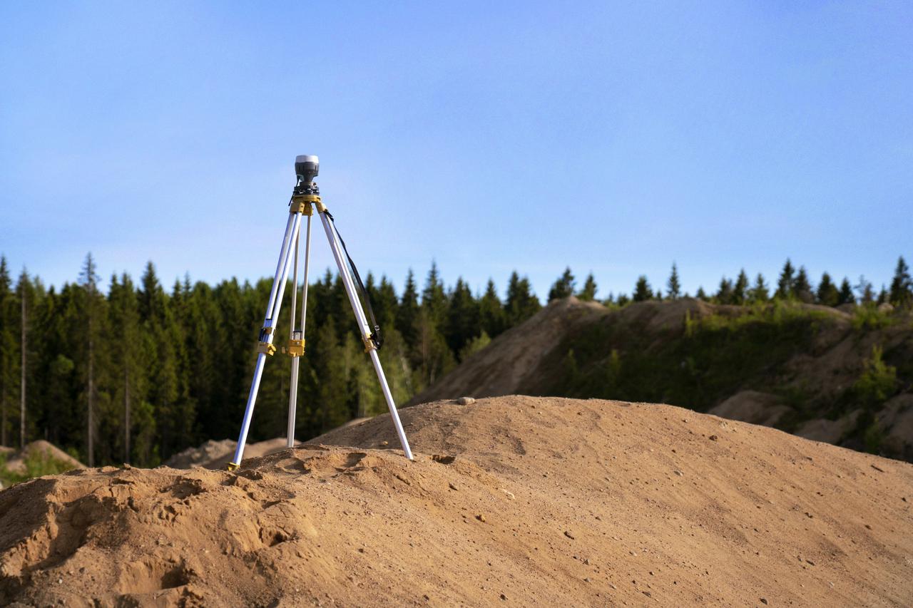
At AxisNova, we specialize in creating accurate and detailed point clouds through advanced 3D laser scanning techniques. Our cutting-edge equipment, including Z+F, Faro Focus 3D, Handyscan-Creaform, and Leica RTC, ensures that every scan is of the highest quality. By capturing millions of data points, we generate a precise representation of physical spaces, enabling effective clash analysis and enhanced project planning. This process not only streamlines workflows but also reduces the chances of costly errors during construction and design phases. Our point cloud generation process is designed for efficiency and accuracy, allowing us to deliver results that significantly enhance project productivity. With our innovative technology, we can achieve four times higher production rates, facilitate target-less logistics, and empower one-man crew operations. This means faster turnaround times and a more seamless integration of data into your projects, making AxisNova your ideal partner for all your 3D scanning needs.
-
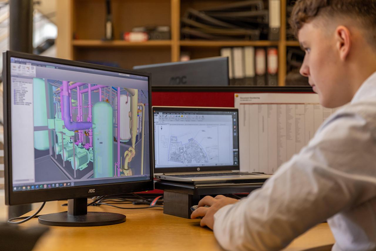
At AxisNova, our CAD modelling service transforms intricate 3D laser scans into detailed and accurate CAD models. Utilizing advanced software and our high-resolution point cloud data, we create models that are not only precise but also optimized for various engineering applications. This process enables engineers and architects to visualize their projects more effectively, ensuring that every detail is captured and represented accurately in the design phase. Our CAD modelling service significantly enhances collaboration and communication among project stakeholders. By providing a clear visual representation of the project, we enable teams to detect potential issues early in the design process, minimizing costly revisions and ensuring a smoother workflow. Trust AxisNova to turn your ideas into reality with our cutting-edge CAD modelling solutions.
-
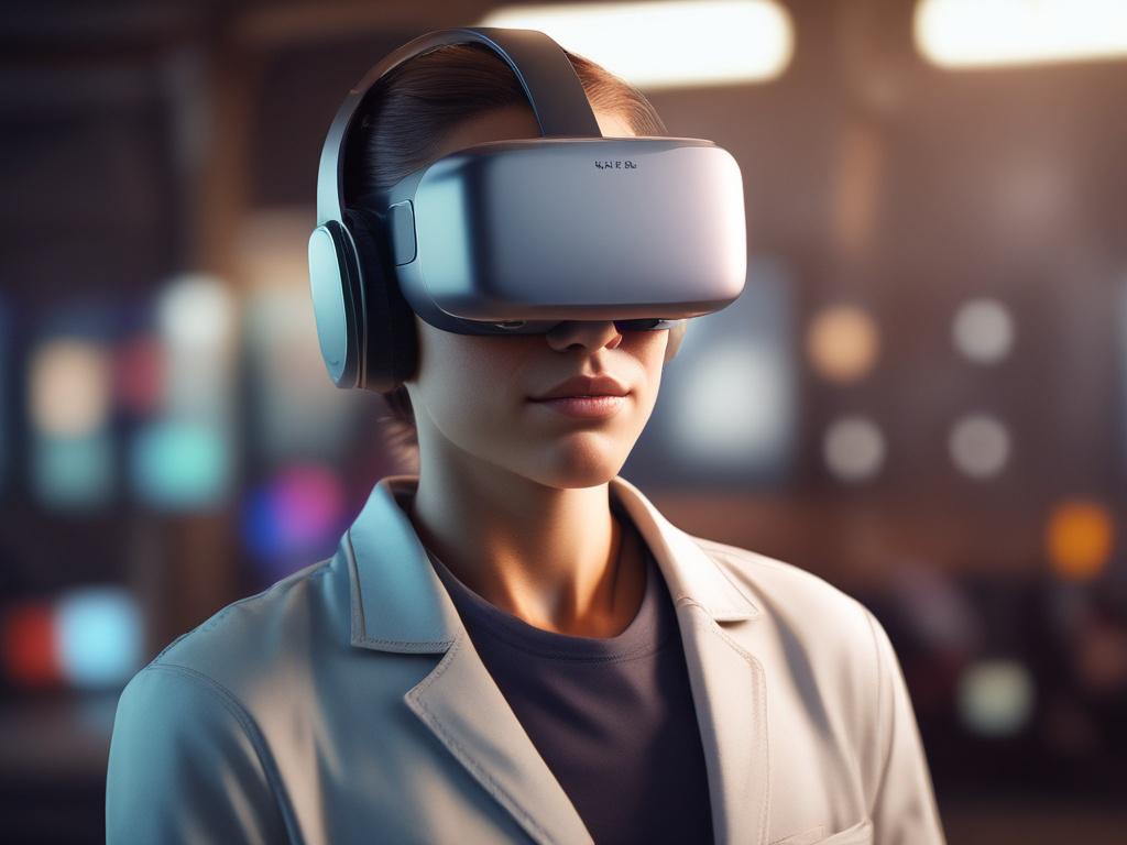
At AxisNova, we elevate your project experience through our cutting-edge Virtual Reality (VR) and Augmented Reality (AR) integrations. Our advanced technologies allow you to immerse yourself in a detailed and interactive visualization of your data. Whether it's showcasing design drawings, circuit diagrams, or video sequences, our solutions provide a clear and engaging way to interpret complex information, ensuring that every detail is captured and understood.