Topographic survey
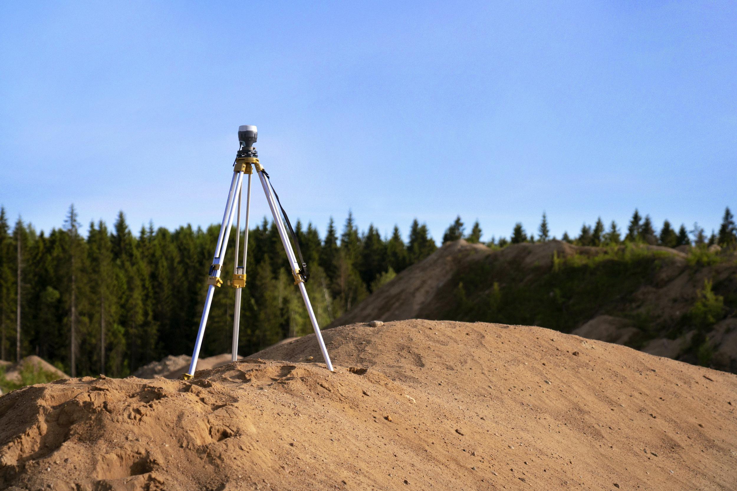
Our Topographic Surveys deliver a comprehensive view of your site’s surface features, capturing both natural terrain and man-made structures. We use high-precision equipment to map elevations, vegetation, roads, buildings, and utility lines, producing accurate and detailed site plans. This data is critical for architects, engineers, and planners during the early stages of design, allowing for smarter decisions and reduced project risks. Whether for construction, land development, or infrastructure projects, our surveys ensure a reliable foundation for every phase of your project
Let's talk
We would love to hear from you!