



Revolutionizing Data Capture: Transforming the World with Precision & Innovation
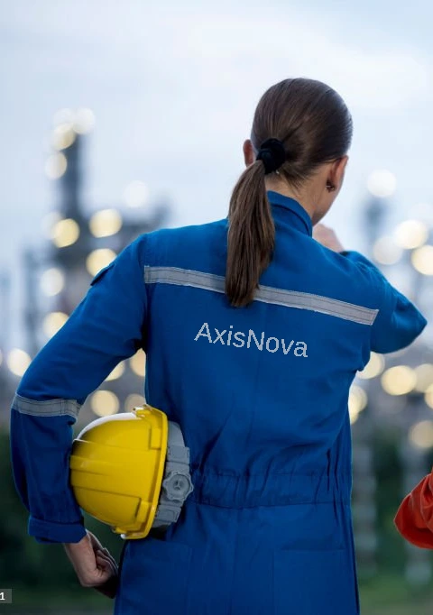
AxisNova was created with a clear focus on advancing surveying and data capture solutions for today’s built environment. The company brings together a team with over 20 years of industry experience, combining proven expertise with modern technology to meet the evolving needs of complex projects.
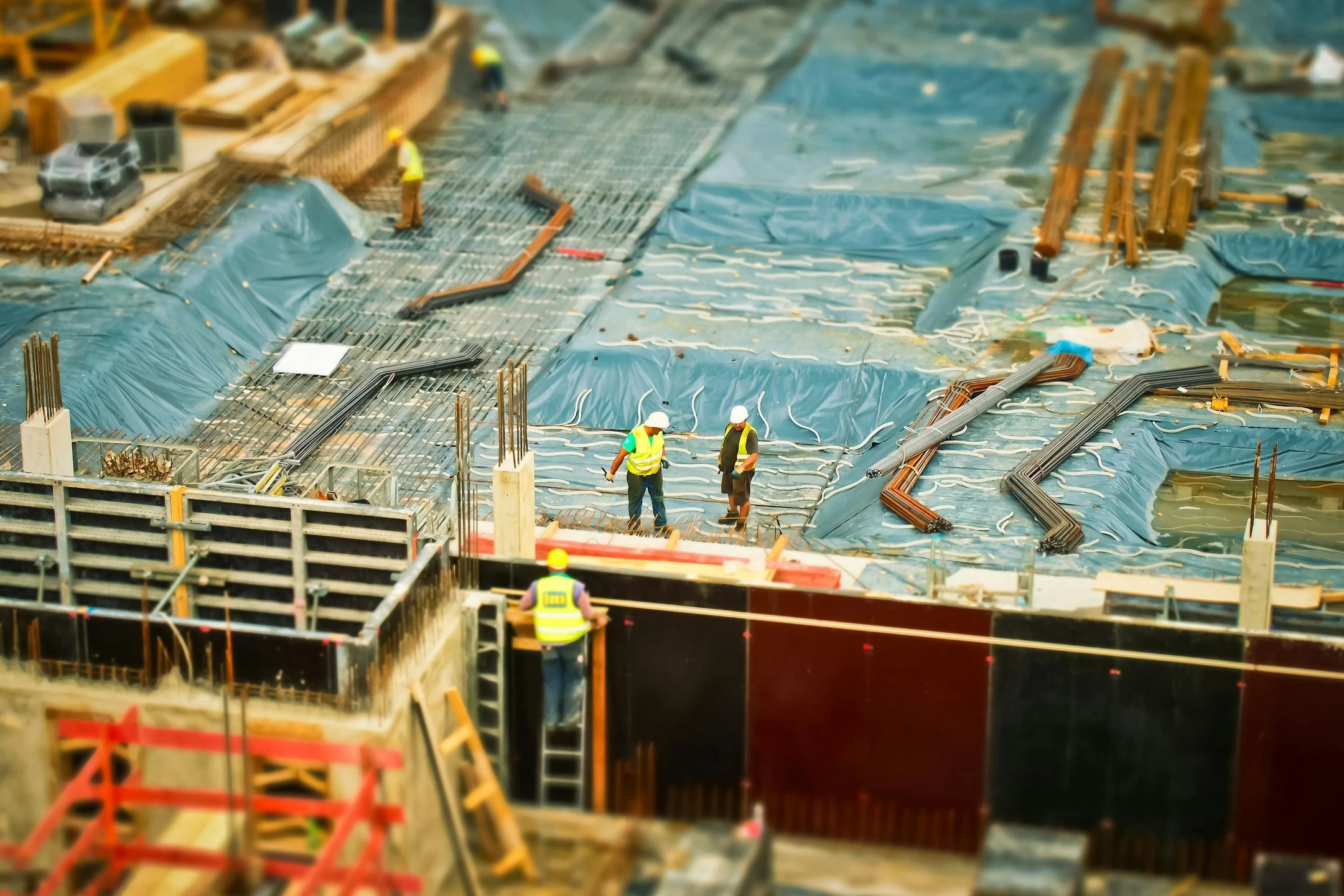
With a strong background in 3D laser scanning and survey, and 3D CAD modelling services, our team has supported projects across oil and gas, construction, infrastructure, and real estate worldwide. This extensive experience shapes our approach—prioritizing accuracy, efficiency, and practical results.
Our mission is to set the benchmark for innovation and accuracy in the surveying industry. We strive to provide comprehensive data solutions that support efficient project execution, reduce complexity, and help our clients achieve their goals with precision, every time.
Our vision is to be the global leader in 3D data capture and surveying services. We aim to integrate advanced technologies such as Virtual Reality (VR) and Augmented Reality (AR) into our solutions, transforming real-world environments into interactive and immersive digital experiences.
Axisnova delivers end-to-end digitalization capabilities that turn site data into actionable intelligence across the asset lifecycle— supporting accurate planning, clear visualization, and informed decision-making from design through operations.
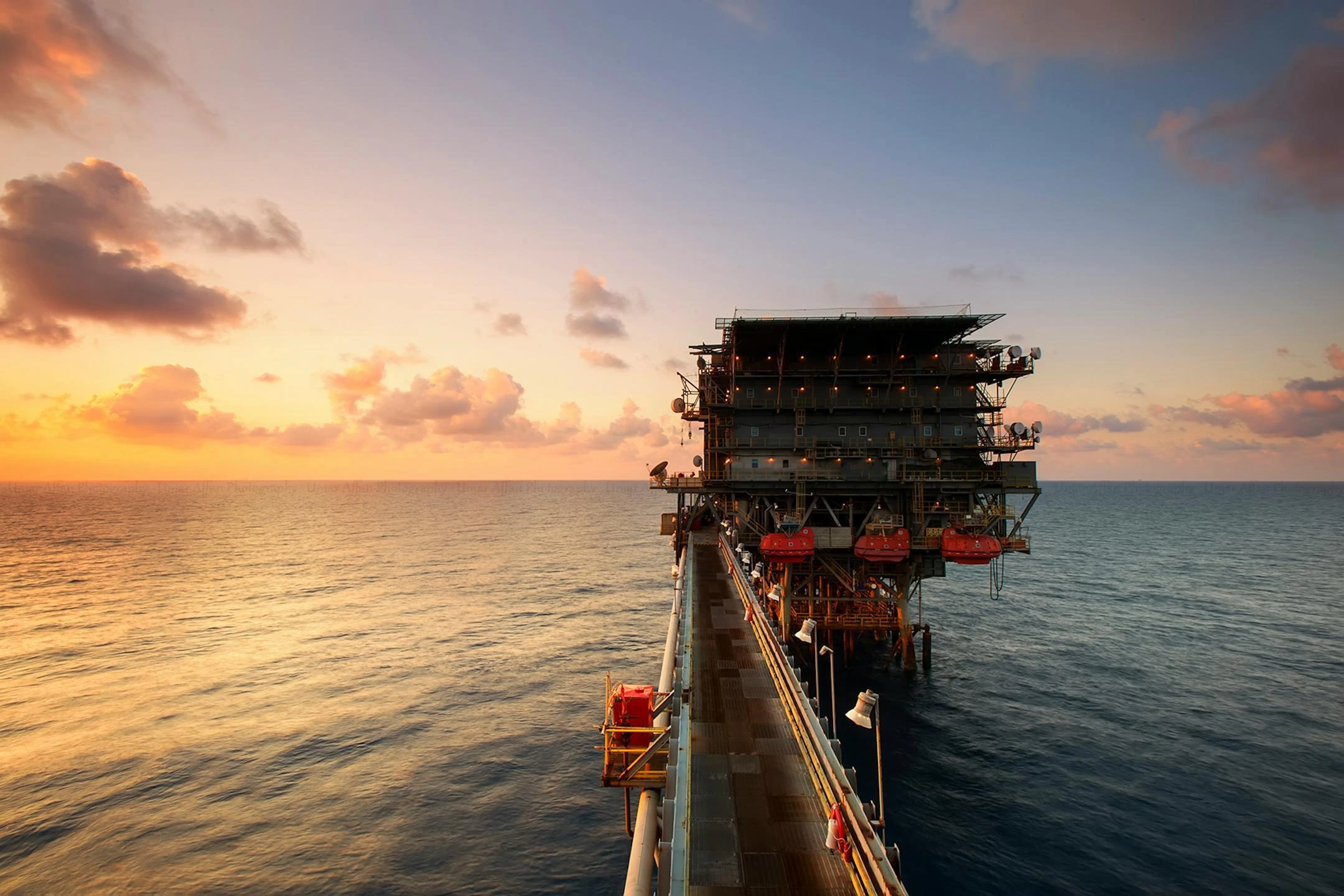
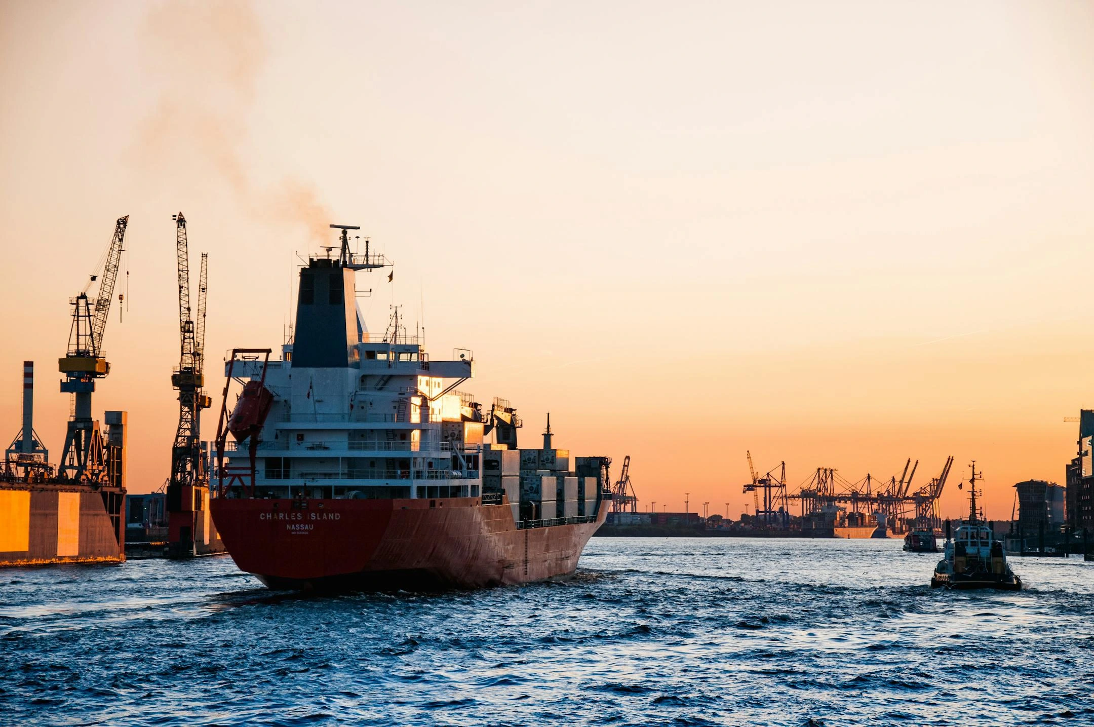
World-Class 3D Scanning Solutions for Oil, Gas, Marine, and More

CERTIFICATION

ISO 9001
ISO 14001

ISO 45001